The Vietnamese Demilitarized Zone was established as a dividing line between North and South Vietnam as a result of the First Indochina War.
During the Second Indochina War (popularly known as the Vietnam War), it became important as the battleground demarcation separating North Vietnamese territory from South Vietnamese territory.
Geography
The Vietnamese Demilitarized Zone ran from east-west near the center of present-day Vietnam (spanning more than a hundred kilometers) and was a couple of kilometers wide. It ran along the Ben Hai River for much of its length, and an island nearby was controlled by North Vietnamese forces during the Vietnam War. Although it was nominally described as being at "the 17th parallel," almost all of the zone lies to the south of the parallel, with only a small portion of the zone near the eastern shore actually including the parallel.
It was around a hundred kilometers north of the city of Huế.
The First Indochina War
The First Indochina War (also called the French Indochina War) was fought in French Indochina from 1946 through 1954 between France and the French-controlled State of Vietnam on the one side, and the Communist-dominated independence movement, the Viet Minh, on the other. The Viet Minh won the war, gaining effective control of all northern Vietnam except an enclave around Hanoi.
In 1954, France gave up its control of Vietnam, and the Viet Minh was recognized as the government of northern Vietnam.

Establishing the DMZ
The post-colonial conditions of Vietnam were set at the Geneva Conference of 1954; the agreement was finalized on July 21, 1954.
The Geneva agreement reflected the military results at that time. The northern part of Vietnam, which was almost entirely controlled by the Viet Minh became the Democratic Republic of Vietnam, under Communist leader Ho Chi Minh. The southern part of Vietnam, where the Viet Minh controlled relatively small and remote areas, became the independent State of Vietnam under Bảo Đại, the last scion of the old Vietnamese imperial house. The State of Vietnam later became the Republic of Vietnam.
The boundary between these two zones was established at the Ben Hai River, which enters the South China Sea at 17 degrees 0 minutes 54 seconds N latitude. The boundary followed the Ben Hai to its headwaters, about 55 km WSW, and thence to the Laotian border.
The area within 5 km on either side of the border was declared to be a demilitarized zone. Troops of both governments were barred from this area.

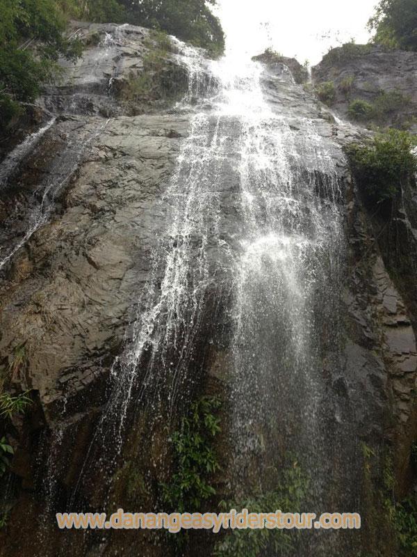
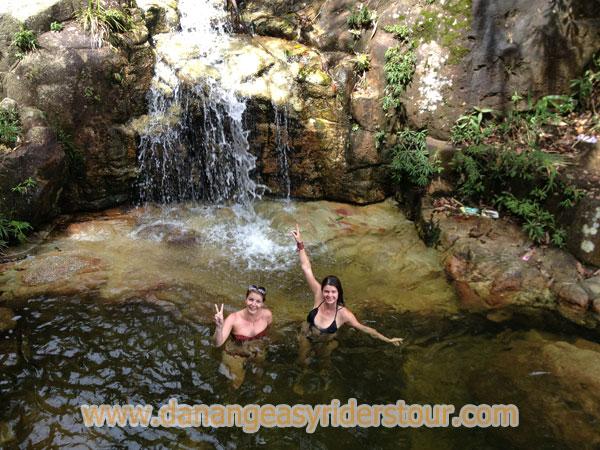
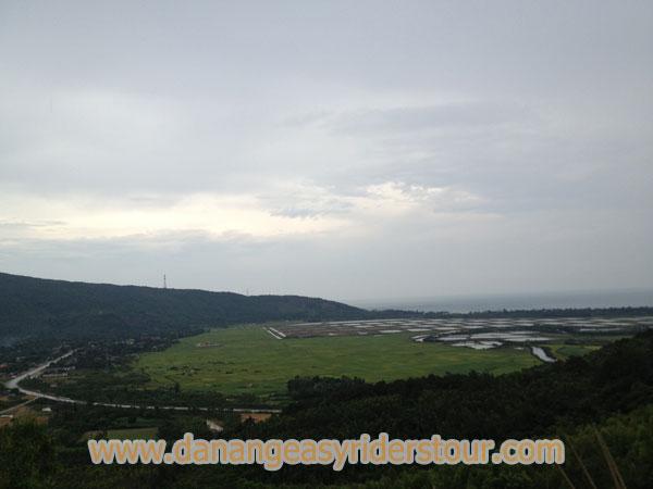
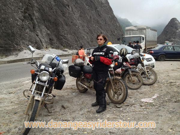
Tourism
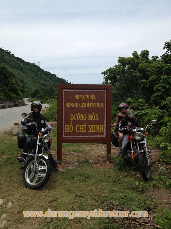
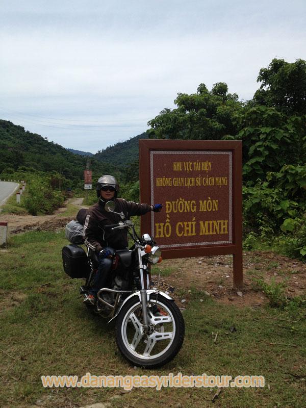
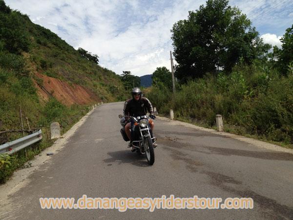
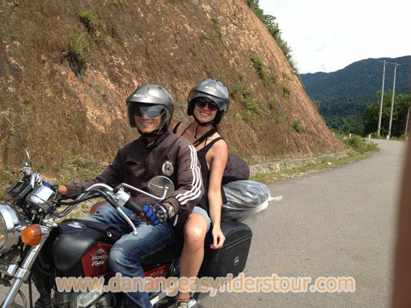
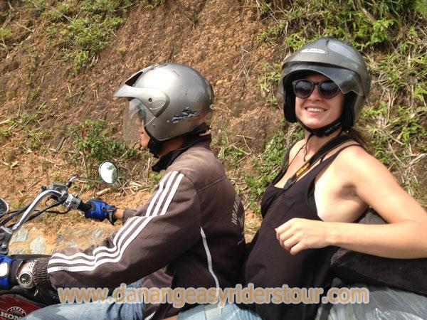
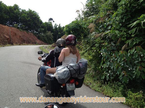
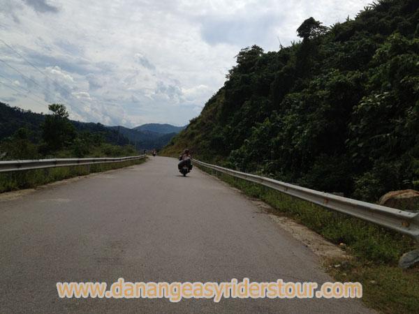
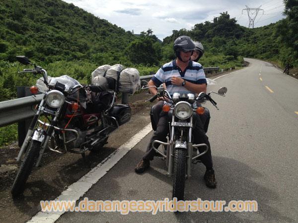
Exploring the Demilitarized Zone can today be comfortably achieved by joining one of various organised tours starting daily from Hué. Together with a local guide the most famous war settings, as Khe Sanh Combat Base, The Rockpile, Ho-Chi-Minh-Trail, Doc-Mieu-Station or the Vinh Moc tunnels are visited on a full-day trip. On the way from Doc-Mieu to Vinh Moc on the route 1A you`re crossing Ben Hai River next to a during Vietnam War frequently bombed but still existing original bridge.
Although the Vietnam War ended decades ago, walking outside marked tracks can still be dangerous because of numerous unexploded ordnance devices.